Projekte
Präzise Drohnenvermessung für Ihre Bauvorhaben.


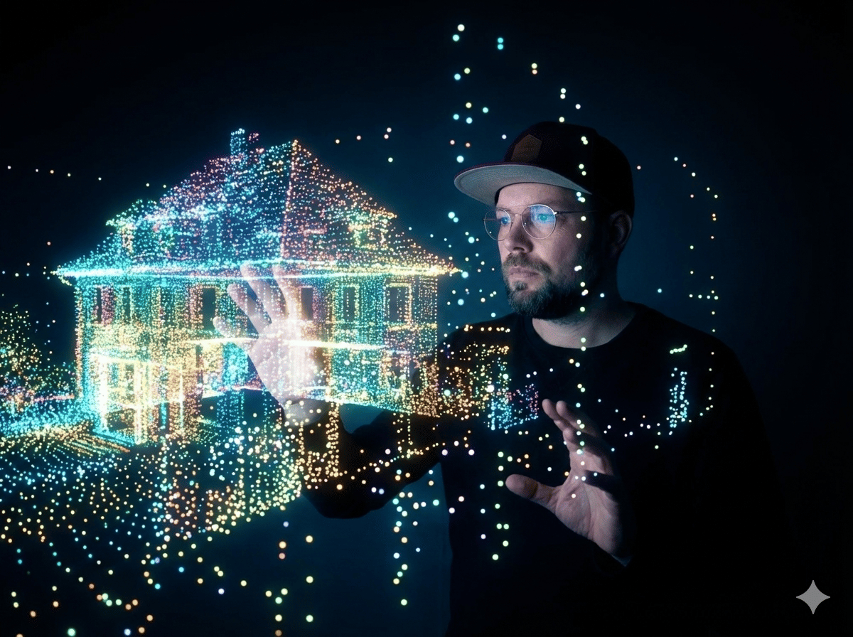
3D-Modelle
Hochwertige Modelle für Architekten und Planer. Referenz- Modell gerne auf Anfrage.


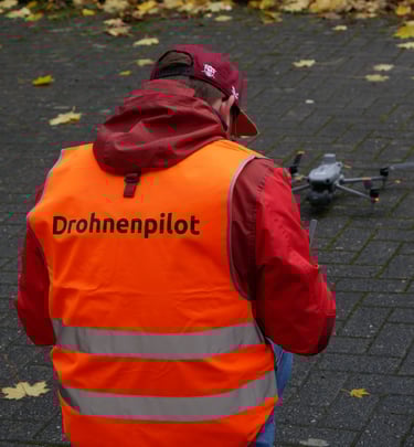
Vermessung
Effiziente Datenerfassung aus der Luft. Referenz- Modell gerne auf Anfrage.
Projekte
Beeindruckende 3D-Modelle aus der Drohnenvermessung


Kontakt
Schnell erreichbar für Ihre Fragen und Anliegen.
Sebastian Janik
Alaunstraße 25a
01099 Dresden
Telefon
kontakt@projektservice-janik.com
+49 173 3266672
© 2025. All rights reserved.